Headlines
On Foot: Delafield’s Lapham Peak or London’s Abbey Road?
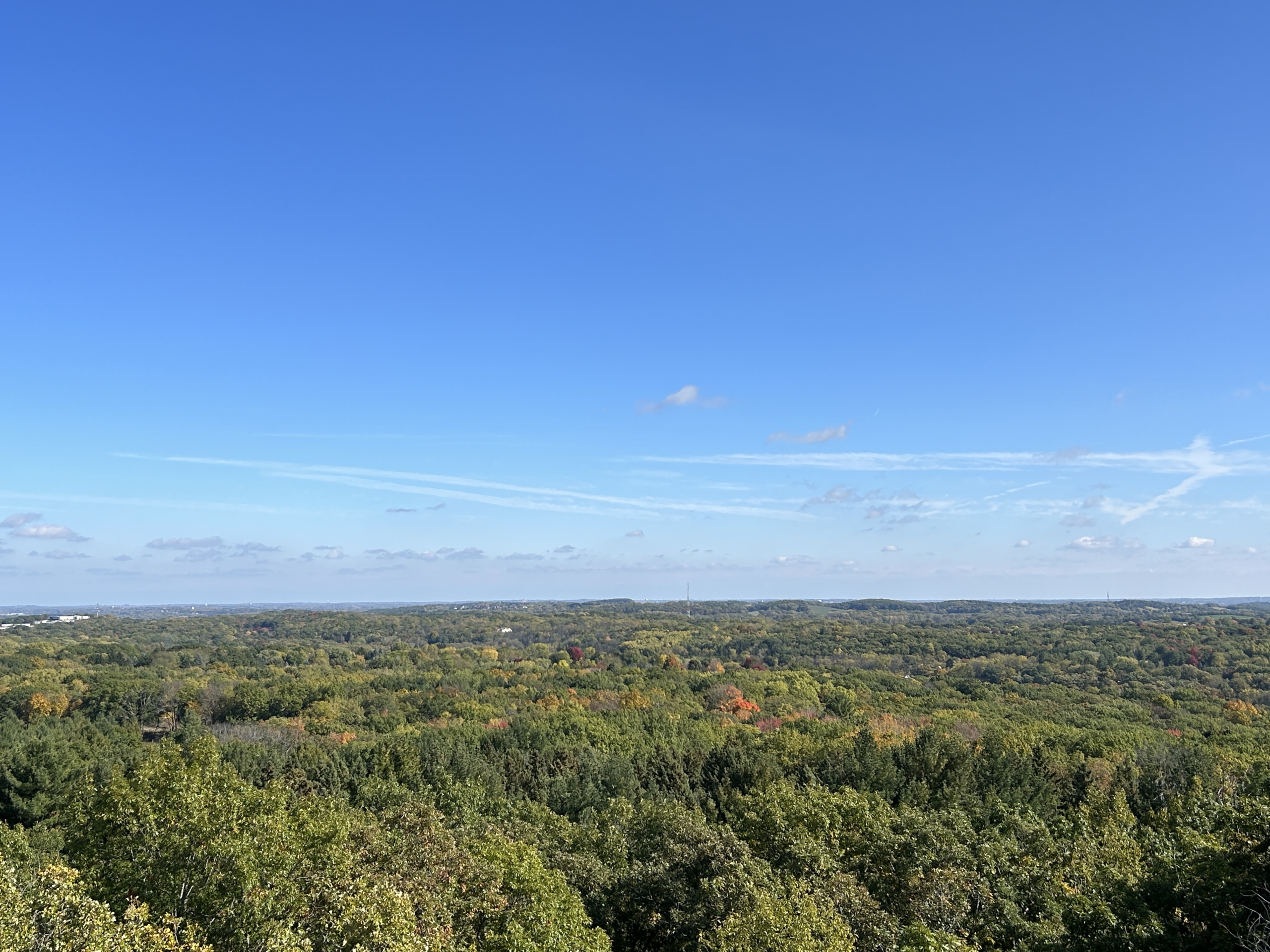
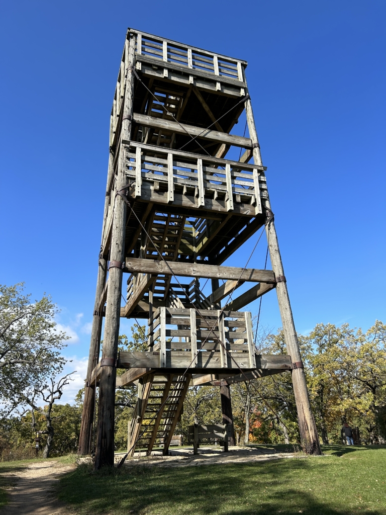
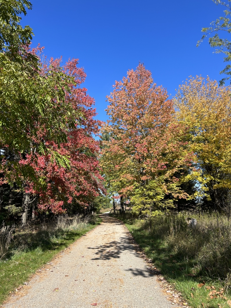
I’m willing to bet you’ve been someplace where you just had to stop every ten feet or so to snap a photo because you were so enamored with the beautiful views. While I have hiked the trails in the Lapham Peak Unit of the Kettle Moraine State Forest countless times, that still was my reaction on the warm fall day when Mary, my walking buddy, and I decided to climb the park’s 45-foot observation tower.
A Waukesha County Natural Beauty
Lapham Peak is located just south of downtown Delafield and seven miles west of the city of Waukesha. We began our adventure at the intersection of the Lapham Peak segment of the Ice Age Trail to the east of Cushing Park Road and the Paul Sandgren Recreational Trail knowing the observation tower is slightly over a two mile walk to the south east. The tower sits on Waukesha County’s highest point 1,233 feet above sea level. Check out the Lapham Peak Interactive Mapif you’d like to follow our route.
Not only is Lapham Peak one of Waukesha County’s natural gems, it is filled with educational signs and materials to help guests learn how to protect and preserve the park. The first sign we spotted at the intersection of the trails is sponsored by PlayCleanGo.org and instructs visitors to clean their shoes using the boot brush attached underneath the sign to prevent the spread of invasive plant and animal species. Per their website, “the PlayCleanGo® Stop Invasive Species In Your Tracks® campaign works tirelessly to prevent the detrimental effects of invasive species on North America’s lands and waters. Through partnerships with other environmental and recreational organizations, clear messaging and community-based social outreach, we raise awareness of how and why thousands of invasive species are spread every year.”
We chose to take the Paul Sandgren Recreational Trail, which is paved and home to several memorial benches for those wanting to take a break or spend more time enjoying the scenery. We learned that while there are no longer spaces available for additional memorial benches in Lapham Peak, engraved remembrance bricks are available to be purchased to expand the Butterfly Garden Walkway on the east side of the park.
Native Plant Restoration
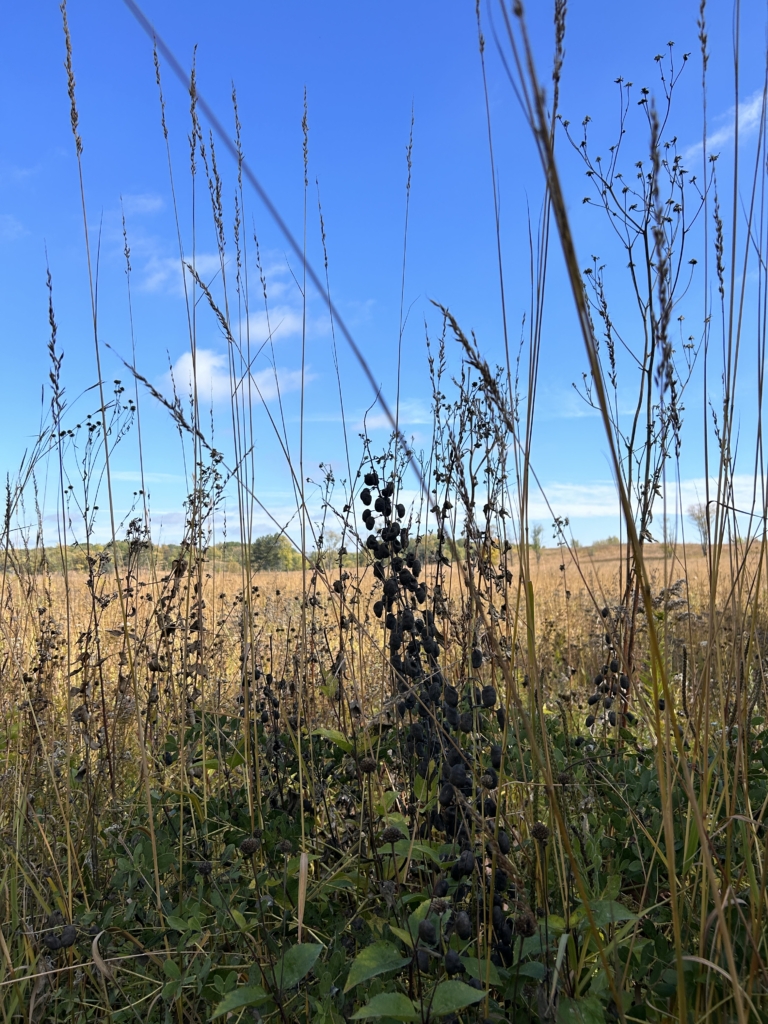
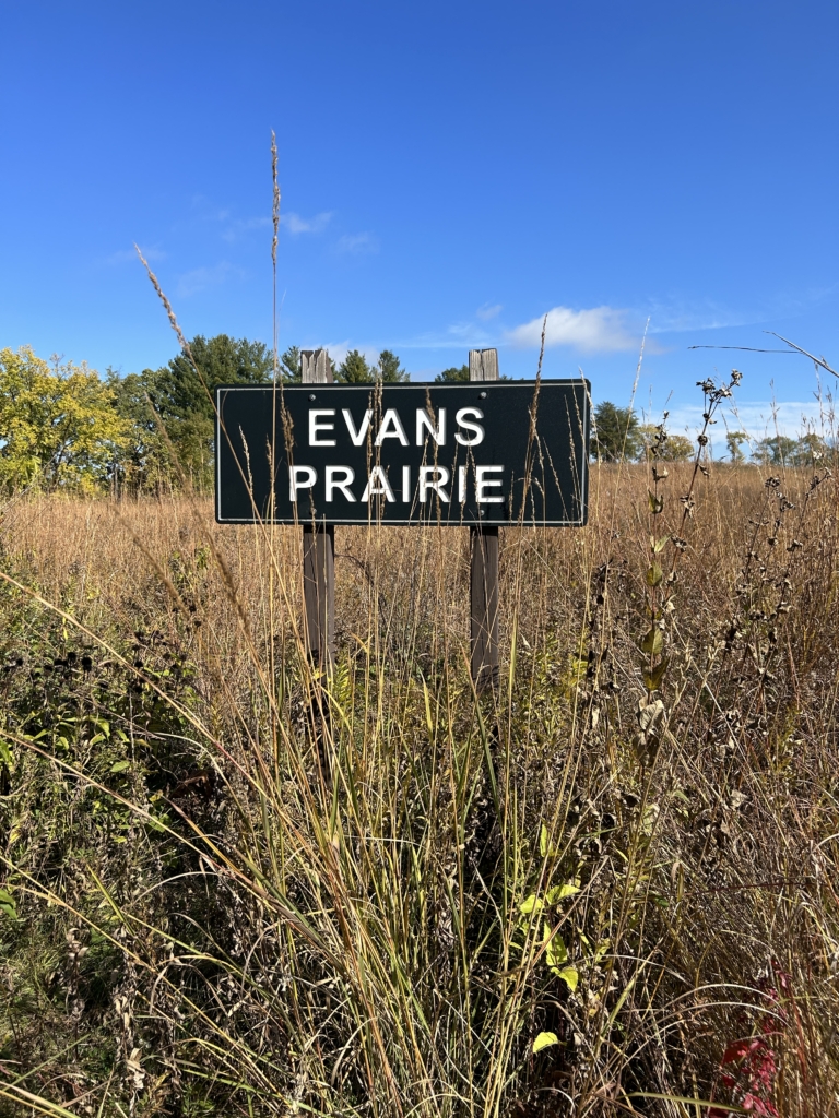
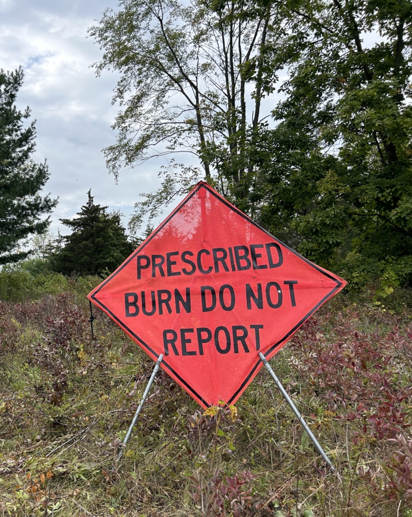
We followed the trail passing the Schoeninger Savanna and then turning east along Evans Prairie. Both the Schoeninger and Evans families have lived in farms inside the park. The Evans farm remains part of Lapham Peak. The savanna hosts prairie plants growing among bur oak trees which we learned from informational signage is “one of the rarest plant communities in the world.” In 1989, Hugh Evans began restoration of the prairie where “the natural plant communities include small wetlands, expansive tall grass areas and dry sandy hillsides. The prairie and savanna would disappear and convert to shrub without frequent fire.” The tall grasses in the savanna and prairie were golden against the bright blue sky and it was interesting to see emerging growth after a recent prescribed burn to manage vegetation along the trail.
The trail curves around a small pond and crosses several well-marked mountain bike and horse trails before intersecting with Highway C. There are no “Caterpillar Crossing” signs, so we had to be watchful to step around the black and rust banded woolly bear caterpillars preparing to survive the winter as full-grown caterpillars and emerge as Isabella tiger moths in the spring. We also were intrigued by the stems of milkweed teeming with small red and black insects and were relieved to learn these red milkweed beetles coexist peacefully with the monarch butterflies feeding on the plants.
Quick Rest Stop
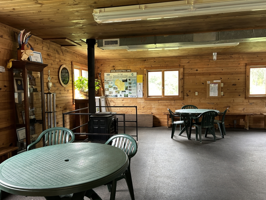
After crossing Highway C, we made a quick stop at the Evergreen Shelter, which houses a small event space, clean rest facilities and a variety of informational brochures. A tall rack filled with firewood provided by park volunteers sits just outside the shelter and bears a sign inviting guests to “Take Firewood and Leave Donation.” The suggested donation is $7 per bundle and all donations will “help fund the burning of Lapham Peak Prairies & Woodlands to promote new growth while reducing invasive species and minimizing the need for herbicides.” From the park’s website, we learned the Evergreen Shelter can no longer handle the park’s increased attendance, so Friends of Lapham Peak, in collaboration with the DNR, will be constructing a new facility, Lapham Lodge, with anticipated completion in 2024 or early 2025.
Now about halfway to our destination, we headed through the Evergreen parking lot and followed the road up toward the observation tower. My hiking difficulty calculator scored the 443-foot elevation climb as 9 or moderate on a scale of 0 to 28.
Nearing the top of Lapham Peak, we passed the Hausmann Nature Center. Bernice and Dr. Paul Hausmann donated the building that was once their home to the state of Wisconsin for the development of a nature center. Today, the Center houses educational materials regarding native plants, animals and artifacts.
The Tower
At the base of the observation tower, we discovered a large notice board that includes a laminated flyer for Walk the Wauk, a self-reported, self-guided program, rewarding participants for hiking nine segments over 45.4 miles of Waukesha County’s Ice Age Trail. Hikers are provided maps, guidebooks, and trail reports, plus award patches and certificates upon completion of all segments. If you’re interested in completing all or a portion of Walk the Wauk, from north to south, the segments are: Stoney Ridge (3.1 miles), Eagle (5.6 miles), Scuppernong (6.7 miles), Waterville (3.8 miles), Lapham Peak (7.8 miles), Delafield (3.3 miles), Hartland (6.8 miles), Merton (5.2 miles) and Monches (3.1 miles). The Walk the Wauk flyer suggests, “the kind of amazement we experience during outdoor activities has a singular ability to predict lower stress and higher levels of well-being and life satisfaction.”
Reaching our destination, we climbed the four flights of sturdy, but open-backed stairs of the observation tower with gritted teeth. Both Mary and I are not fond of heights. So much for lower stress.
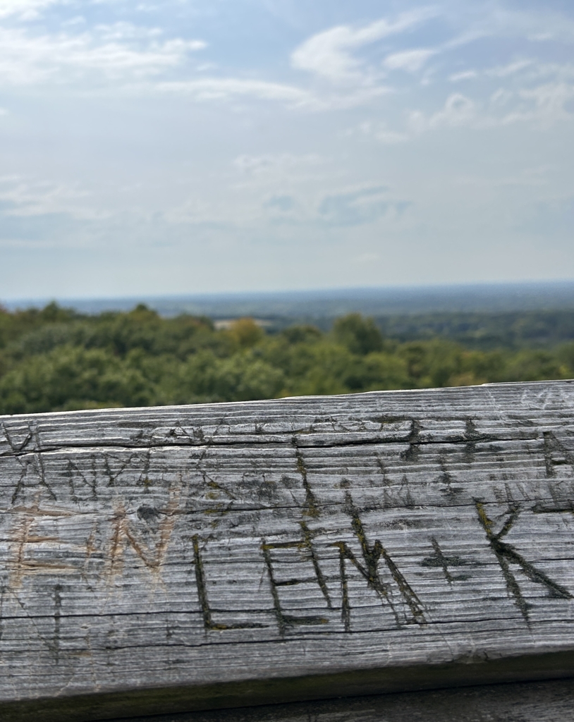
The view from the top of the tower was worth every bit of the climb. Four signs help visitors identify north, south, east and west vantage points and several others prompt visitors to look for specific landmarks. The sky was clear enough for us to see Holy Hill in Hubertus to the northeast. Over time, initials have been carved into the top railing of the tower, and, while I’m not advocating this practice, it did make me think how the views from this Waukesha County gem must have inspired many people.

Delafield’s Lapham Peak or London’s Abbey Road?
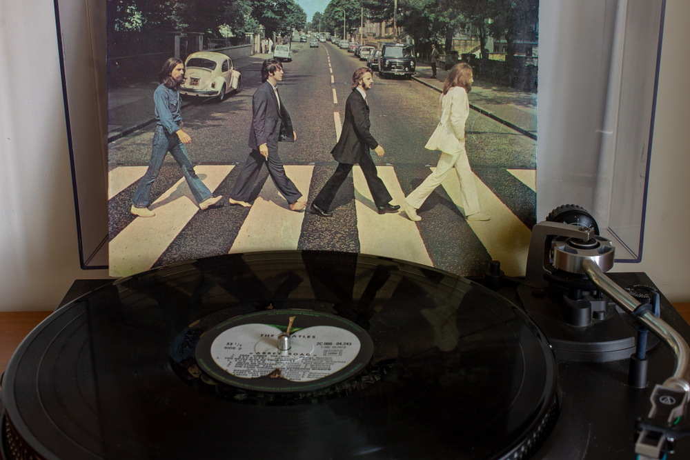
As we made our way back down from the observation tower to our cars, four wild turkeys strode in line across the road and, while there isn’t a zebra-striped crosswalk, the resemblance to The Beatles’ “Abbey Road” album cover made us burst out laughing. Did you know that because of the Beatles’ fame, the original Abbey Road album cover completely omitted the album’s title and the band’s name? In homage, we have omitted the names of the wild turkeys.
Helpful Facts for Enjoying Lapham Peak
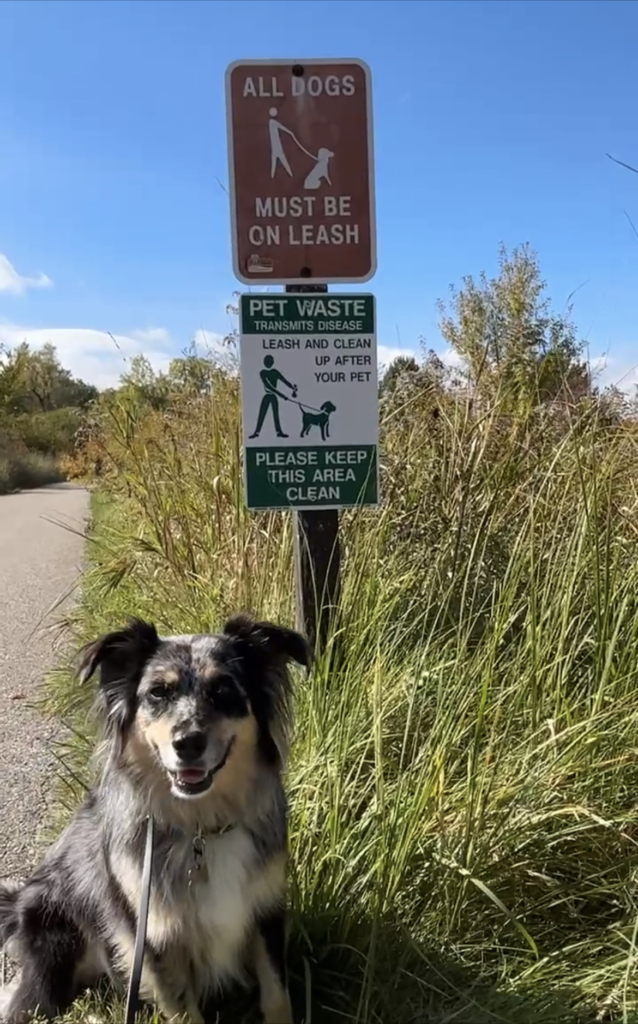
The Lapham Peak Unit of the Kettle Moraine State Forest is open year-round from 6 a.m. to 9 p.m. Vehicle admission stickers are required, and state trail passes are needed for bicyclists, horseback riders and cross-country skiers aged 16 and older. Dogs on leash are welcome, and pet waste stations are located throughout the park. While dogs are not allowed on the observation tower, my pup Zia enjoyed the sights, sounds and especially smells we discovered during today’s 5.5-mile trek and scaled the modest elevation climb to the tower with ease.
On Foot is a regular column exploring the scenery, sites, food and drink in cities, villages and towns throughout Waukesha County. If you have ideas to share about where Focus Waukesha should explore next On Foot, please contact [email protected].


